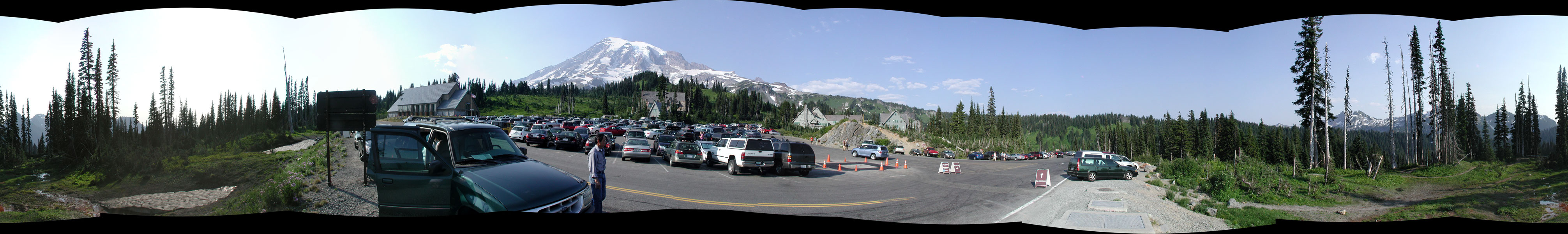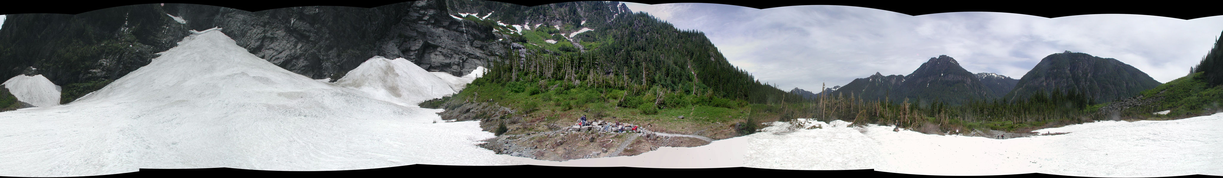
Usually I try to snap 360* photo's of an area since I know at some point down the road I'll kick myself for not doing it. A lot of times, it's not for the artistic value, more for the documentation of areas that normally wouldn't show up in a photo. Looking forward to going back through pictures and stitching them together.
It's easy and really fast! Give it a try.
Here's a couple panoramas from recent snow treks.
http://research.microsoft.com/en-us/um/ ... s/ivm/ICE/